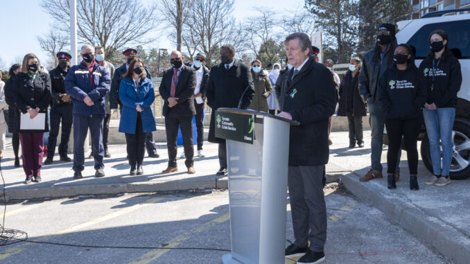
Today, the City of Toronto released revised boundaries for Toronto’s social planning neighbourhoods, increasing the number of neighbourhoods from 140 to 158. The number of social planning neighbourhoods is increasing to balance population growth experienced over the last 25 years since the original social planning neighbourhoods were developed in the late 1990s.
Social planning neighbourhoods (www.toronto.ca/city-governmen
The City and community partners use social planning neighbourhood boundaries to better understand the needs of their communities, plan where new activities could be delivered and identify gaps in community and social service supports. The neighbourhood boundaries complement other geographic subdivisions in Toronto, including electoral districts, wards, community councils, secondary plan areas, and historical and informal neighbourhood boundaries used by residents of and visitors to Toronto.
These new boundaries make certain that the population of social planning neighbourhoods are better balanced, ensuring more equitable analysis and insights. As a result, the boundaries for 16 of the 140 original social planning neighbourhoods will be replaced with 34 new ones. The boundaries of the remaining neighbourhoods will remain the same. Going forward, there will be 158 social planning neighbourhoods in total.
The outer boundaries of the neighbourhoods that will be split will remain the same, ensuring backwards compatibility for historical analysis. Boundaries are always built using Statistics Canada’s Census Tract geographies to ensure maximum compatibility with existing datasets.
The specific boundaries and names utilized by the new social planning neighbourhoods have been validated through extensive consultation with stakeholders and affected City councillors.
More information and a map of the new 158 social planning neighbourhoods is available on the City’s Neighbourhood Profiles webpage: www.toronto.ca/city-government
Community organizations, planners and other data users are encouraged to update their geospatial data files by visiting the City’s open data portal at www.toronto.ca/open.
Quotes:
“The City is committed to making sure that our work to support our growing neighbourhoods and communities is driven by sound data and evidence. The changes to the social planning neighbourhoods will help the City and our partners enhance equity, reduce poverty and ensure that services and supports are delivered where they’re needed most.”
– Mayor John Tory
“The City is the government closest to residents, so it is our responsibility to put the right tools in place to ensure the safety, well-being and quality of life in their communities. Our updated and expanded social planning neighbourhood network allows us, and service planners, to identify more accurately local needs and determine how to meet them equitably and more effectively.”
– Deputy Mayor Michael Thompson (Scarborough Centre), Chair of the Economic and Community Development Committee
Source City of Toronto

Leave a Reply